‘Transit Route’ panorama

4a8164f21d169a97c07ce47af263.jpg


The UMC continues to talk about what is happening in the Star Conflict universe at the present time. The history of the fringe sectors is happening right before our eyes…
 

  **Former Imperial Sectors System: Ontregos  ** Cargo used to be transported through this area from deposits to processing stations, and from processing stations to production. The war with Aliens destroyed most of the processing stations, and the traffic flow stopped.   At present, refugees from the ‘Doomed Flotilla’ and the ‘Holy Empire’ sectors arrive at the station ‘Guardian-17’. One of the shortest routes is through the ‘Transit Route’ zone. Unfortunately, all navigational beacons in the system were lost during the war. Numerous pirates and crystallids that still have not left the vicinity of Ontregos, make flights in this zone very dangerous. Often, evacuation convoys are lost in transit without reaching the safe systems.


Sincerely,
Star Conflict Team

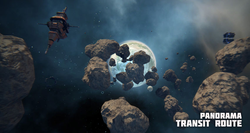
Sometimes it is helpful to see the zone before jumping to it. Is it difficult to include panoramas in the Open Space map pop-ups? For example, you click the zone and can see its panorama, like at the screenshot I attached:
 

panoramaOpenSpace.jpg.5f1b21976b7e10404361647f6bf9accc.jpg

+1